
For anyone who uses the N4 between Mullingar, Longford and Roosky, a road scheme can sound straightforward: less congestion, safer journeys and a more reliable route. In practice, the detail matters. A new alignment or altered junction can change a daily school run, a farm entrance, a delivery route or the way people reach a town centre.
The useful approach is to look beyond the main road line. The core question is not simply whether the scheme improves through journeys, but how it would affect access, safety, drainage, walking, cycling and local life in each place along the route.
Why the N4 proposals matter locally
The N4 is an important connection through the Midlands and north-west, carrying local traffic as well as longer-distance journeys, freight and agricultural vehicles. On the existing route, through traffic and local turning movements often have to share the same road space.
That can create particular pressure around homes, businesses, side-road junctions and settlements. A major road scheme may seek to reduce these conflicts by providing a route better suited to longer journeys, while changing how traffic joins the existing road network.
Potential benefits can include:
- a road layout designed to reduce conflict points;
- more predictable journeys for drivers and freight operators;
- less through traffic on some stretches of the existing N4;
- scope for improved local crossings, footways or cycle connections where these form part of the design;
- a different environment in towns and villages currently affected by passing traffic.
However, benefits will not necessarily be felt evenly. One household may welcome quieter traffic, while another may be concerned about a longer route to work, a changed entrance or effects on nearby land.
The line on the map is only the beginning. The side roads, crossings, drainage and access arrangements often determine how a scheme feels in everyday life.
What remains open to design and review
Large road projects develop over several stages. Drawings issued for consultation can show a preferred route or emerging layout, but many details may still be assessed, refined or subject to statutory approval.
It is sensible to check the latest material published by the N4 Mullingar to Longford project team, Transport Infrastructure Ireland and the relevant local authorities. Consultation pages should set out the current stage, available drawings and any deadline for comments.
Areas that may require detailed design include:
- junction locations and the routes between local roads;
- entrances to homes, farms and commercial premises;
- bridges, underpasses and crossings;
- walking, cycling and public-transport connections;
- drainage, flood-risk measures and watercourse crossings;
- landscaping, noise mitigation and ecological measures;
- construction access, diversions and temporary traffic management.
Do not assume that a broad route corridor answers every question about a particular field boundary, driveway or lane. Ask the project team which drawings apply to the location you are considering and whether the element shown is indicative or fixed.
How a new route could affect daily journeys
A scheme intended to take longer-distance traffic away from the existing N4 could make some local streets calmer and easier to cross. It could also change the pattern of journeys, particularly where local roads are connected to a new junction rather than directly to the present route.
For residents, the practical questions are often simple:
- How will I get to the nearest town, school, GP surgery or bus stop?
- Will my usual turn be retained, relocated or closed?
- Will walking and cycling routes be continuous and safe after dark or in wet weather?
- Could traffic be displaced onto a quieter local road?
- What happens when there is a collision, roadworks or a closure on the main route?
For businesses, reduced passing traffic can be a concern, especially where custom depends on drivers stopping en route. On the other hand, streets with less heavy through traffic may become more comfortable for customers to visit on foot and may be easier for local deliveries.
The likely outcome depends on location, signage, access, parking and the final road layout. It is better to identify a specific concern than to rely on a general assumption that a bypass will either help or harm every business.
Reading the plans without getting lost
Road drawings can be technical, but a methodical check will make them more useful.
1. Start with a real journey
Find your home, workplace, farm, business or usual turn-off on the project map. Then trace a complete journey to the places you visit regularly, rather than concentrating only on the closest point of the proposed route.
A road may be some distance away but still alter the lane or junction used to reach it.
2. Check each connection
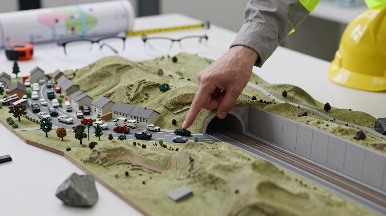
Look for side-road tie-ins, bridges, underpasses, junctions, diversions and stopping-up points. Consider how different users would manage the route, including pedestrians, cyclists, wheelchair users, agricultural machinery, refuse vehicles and emergency services.
Questions worth asking include:
- Is the existing entrance retained or replaced?
- Is there enough room for large vehicles to turn safely?
- Would a replacement route be practical in winter or during harvest?
- Is there a safe crossing between homes, services and public transport?
3. Look beyond the carriageway
The main road is only one part of the proposal. Plans may show embankments, cuttings, drainage ponds, landscaping, fencing, retaining walls and construction compounds.
These can affect views, field patterns, water flows, mature trees and the way land is worked. Read the legend and accompanying environmental material, not just the route plan.
4. Record what mapping may miss
Make a note of local information that a desk-based plan cannot show clearly: regular flooding, livestock crossings, a school-bus pick-up point, poor visibility in heavy rain, a well-used walking route or a narrow lane where vehicles already struggle to pass.
Photographs can help, provided they are taken safely from public places and do not identify people unnecessarily.
Making a useful consultation response
A response does not have to be lengthy to be constructive. The most useful comments explain the place, the current situation and the issue that needs investigation.
- Identify the location. Give a road name, nearby property, map reference or plan-sheet number where possible.
- Describe what happens now. Explain, for example, when machinery uses an entrance or where people cross to reach a bus stop.
- Set out the likely effect. Be specific about access, journey length, safety, noise, drainage or the local environment.
- Ask for a clear action. This might be an assessment, a safer crossing, clarification of an access arrangement or a review of a junction layout.
- Include relevant evidence. Dated photographs, measurements, annotated maps and records of flooding can be useful where appropriate.
A focused comment does more than say ‘for’ or ‘against’: it gives the design team a real issue they can test and address.
Keep a copy of anything you submit, together with the drawing revision and consultation date. Project designs can change, and this record will help you follow later updates.
Landowners, farms and local firms
Where land or property may be affected, early engagement is important. Landowners should keep notes of meetings and correspondence, and ask for plans and commitments to be confirmed in writing where possible.
For agricultural holdings, consider the full working pattern rather than a single vehicle movement. This may include livestock routes, machinery width, access during harvest, slurry or feed deliveries, drainage maintenance and movement between separated parcels of land.
Businesses should map customer, staff and supplier journeys. Consider loading access, parking, directional signing and whether a change to the road network could alter the route used by delivery vehicles.
If a drawing is unclear, request an explanation from the project team or raise the question through the official consultation process. Do not rely on informal interpretations of a plan shared online or by word of mouth.
Common mistakes when assessing a major road proposal
- Looking only at the new road. Side roads, replacement accesses and drainage features may have the biggest local effect.
- Treating consultation drawings as final construction plans. Designs can be revised following surveys, assessment and consultation.
- Focusing only on motorists. Consider people walking, cycling, using mobility aids, travelling by bus, working land and moving freight.
- Making a vague submission. A precise location and practical example are more likely to receive a useful response.
- Missing the consultation deadline. Check official notices rather than relying on an old social-media post or leaflet.
- Overlooking construction. Temporary traffic management, dust, noise, access and working hours can matter greatly, even if the finished scheme brings improvements.
Safety and environmental points to raise
It is reasonable to ask how the proposals would manage road safety, drainage, flood risk, noise, landscape, biodiversity, trees and heritage features. Environmental assessment documents should explain the methods used and any proposed mitigation.
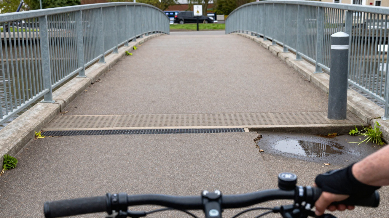
When considering active travel, look at whether a route is genuinely usable: continuity matters, as do gradients, crossing points, lighting where proposed, surfacing and personal safety. A path that ends at a difficult junction may not provide a practical alternative for many people.
Never enter a survey area, work site or private land to inspect the scheme. Use publicly available plans, attend official information events where offered, and seek permission before accessing land. During construction, follow signed diversions and keep clear of plant and moving vehicles.
A practical next step
Set aside half an hour to review the latest official map with a normal journey in mind. Trace how you would drive, walk, cycle, receive a delivery or move farm machinery, then note the points that need clarification.
The N4 Mullingar–Longford scheme could change travel across this part of Ireland for many years. Detailed local knowledge, submitted clearly and within the published consultation period, gives communities the best chance of improving a proposal before decisions are finalised.










Comments
No comments yet. Be the first to comment!
Leave a Comment