
A new district can sound simple when it is reduced to a housing number. But density is what will shape daily life: how many people and buildings occupy an area, and whether buses, schools, parks, drainage and local services keep pace with them.
For the proposed Dunsink City Quarter in north-west Dublin, the figures discussed in planning material suggest a large, compact urban extension. Density is not automatically a good or bad thing. The key question is whether homes, public space and essential infrastructure would be delivered together, in the right places and at the right time.
Start with the figures - and check the document date
Public planning material has referred to approximately 18,500 homes across a site of around 435 hectares, or 4.35 square kilometres. Population assumptions in material connected with the proposal have varied, with figures ranging from about 46,800 to roughly 56,000 residents.
These figures should be treated carefully. Plans change, and different documents may use different site boundaries, household sizes, development phases or assumptions about vacant homes. Anyone commenting on the scheme should check the most recent documents on the relevant planning authority’s website.
Using the full 4.35-square-kilometre site area, the broad calculations are:
- 46,800 residents: about 10,760 people per square kilometre;
- 55,000 residents: about 12,640 people per square kilometre;
- 56,000 residents: about 12,870 people per square kilometre.
These are substantial urban densities. They do not prove that a scheme would be unsuccessful, but they do make the detail important. General promises of amenities are not enough; residents need to know their capacity, location, funding and delivery timetable.
Density is a planning tool, not a verdict. The real test is whether homes, streets, green space and essential services are planned as one connected system.
Gross and net density tell different stories
Density can be measured in more than one way, which is why comparisons can be misleading.
Gross density divides the projected population by the entire plan boundary. That area may include parks, schools, roads, waterways, utility land, employment space and land that cannot be built on.
Net residential density considers only land used for housing. It will usually be higher because it excludes much of that supporting infrastructure.
Both measures matter to future residents:
- Gross density indicates the pressure placed on the wider district.
- Net density gives a better sense of street character and likely building form.
- The proportion of land for parks, drainage and community facilities shows what accompanies the homes.
- Road and parking space can indicate whether the layout prioritises cars or makes walking, cycling and public transport practical.
A masterplan should make its methodology clear. If it does not, it is reasonable to ask for a straightforward land-use table covering the overall site, developable land, homes, open space and infrastructure.
What a compact district needs to work
Well-designed density can support frequent public transport, local shops and shorter everyday journeys. It can also make better use of serviced land in a city where housing supply is under pressure.
But compact growth works only if the basics are in place early. A new neighbourhood should not leave households dependent on driving elsewhere for school places, groceries, healthcare, green space or a reliable bus connection.
Key questions include:
- Public transport: Will reliable services be operating before most homes are occupied?
- Walking and cycling: Are routes direct, continuous, well lit and suitable for buggies, wheelchairs and mobility aids?
- Schools and childcare: Is land secured, and is provision timed for the arrival of families?
- Parks and play: Are there useful, accessible spaces close to homes, rather than narrow leftover areas beside traffic?
- Water and drainage: Is wastewater capacity confirmed, and is surface-water drainage designed for intense rainfall?
- Local services: Is there space for day-to-day shops, community uses and healthcare facilities?
- Construction phasing: Will early residents have completed streets and usable amenities, rather than years of disruption around them?
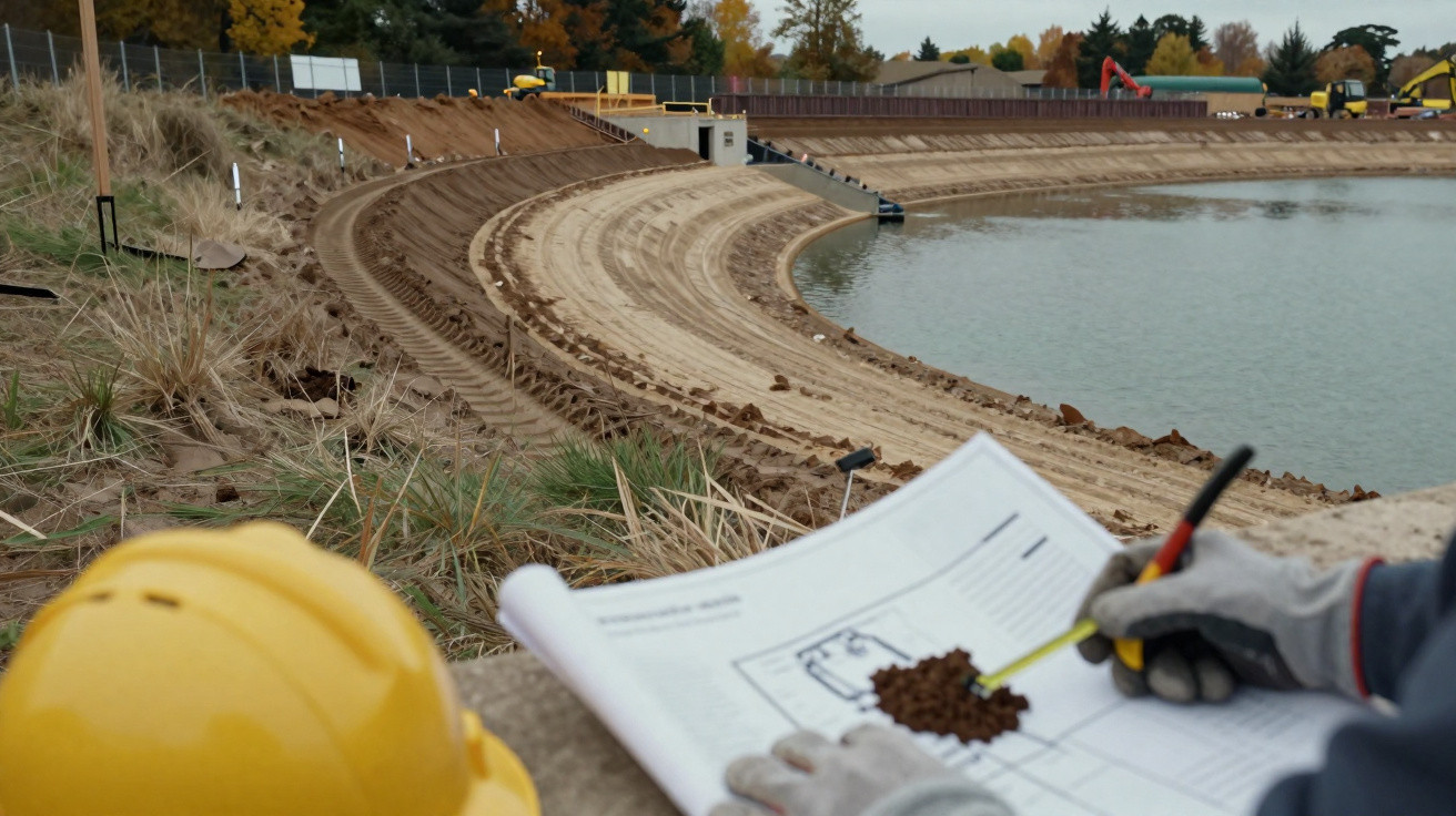
Drainage deserves particular scrutiny in Dublin’s wet climate. Extensive hard surfacing can increase run-off in heavy rain. Features such as swales, planting, permeable paving and attenuation areas can help manage water, but only if they are properly designed and maintained.
Read the masterplan in a practical order
Planning documents can be long, but you do not need specialist training to identify issues that affect everyday life.
1. Find the phasing plan
Look for a map or timetable showing what is built first, second and last. Compare the delivery of homes with schools, parks, bus services and local centres.
2. Follow an ordinary daily journey
Trace a route from a typical home to a bus stop, primary school, food shop and park. Is it direct? Does it cross major roads? Would it work for a child, an older person or someone using a wheelchair?
3. Check streets as well as building heights
Tall buildings are not automatically unsuitable, and lower buildings are not automatically more liveable. Look at pavement widths, crossings, tree planting, daylight, wind, overlooking and ground-floor uses. These details affect whether a street feels safe and pleasant.
4. Look beyond the illustrations
Visualisations show an ambition. The more useful material is often in the schedules and conditions: housing numbers, school sites, public-space areas, junction layouts, funding arrangements and delivery triggers.
5. Compare population assumptions
If transport, drainage and education documents use different projected populations, ask why. There may be a sound explanation, but it should be explicit.
A masterplan should be judged not only by its final image, but by what must be delivered before the next phase can proceed.
Public land and public value
Large development areas often involve a mix of public and private land. Planning material relating to Dunsink has indicated public-sector landholdings within the wider area, alongside privately owned plots. The precise ownership position should be checked against current records and planning documents.
Where public land is involved, transparency matters. It may help secure parks, schools, utilities, community facilities and a mix of homes, but this depends on clear decisions and enforceable agreements.
Useful questions for the planning authority include:
- Which plots are publicly owned, and what are they intended for?
- Which facilities are secured by planning conditions or formal agreements?
- Who will maintain parks, drainage features, public squares and roads?
- What happens if homes are completed faster than transport or community infrastructure?
- How will infrastructure costs be funded and monitored?
The important issue is not a developer’s brochure or a single illustration. It is whether the public benefits are written into a delivery framework that can be monitored over time.
Common mistakes when comparing density
It is tempting to compare Dunsink with London, Manhattan or another familiar place. Such comparisons can provide context, but they often hide important differences.
Comparing unlike boundaries
A figure for an entire local authority area may include industrial land, large parks and transport infrastructure. Another might cover only built-up residential streets. Check the boundary before comparing numbers.
Assuming tall means dense
A cluster of tall blocks surrounded by wide roads and unused land can accommodate fewer people than mid-rise blocks arranged around active streets and courtyards. Height is only one part of density.
Ignoring daytime demand
Schools, workplaces, shops and other services bring workers, visitors and students into an area. Public transport and public spaces need to cope with more than the overnight population.
Overlooking construction disruption
A district built over many years can mean noise, dust, diversions and heavy vehicle movements. Construction routes, working hours and dust controls matter to neighbours and early residents.
Treating all households alike
Families, students, older residents and people living alone use local services differently. Population totals are useful, but they do not replace a clear breakdown of likely housing need.
How local people can respond constructively
Planning comments tend to be more useful when they are specific. Rather than simply supporting or opposing a proposal, identify a drawing, policy, map reference or missing commitment and explain the likely practical effect.
Comments might seek:
- bus priority and frequent services before a defined number of homes are occupied;
- accessible green space in every development phase;
- continuous walking and cycling links to surrounding neighbourhoods;
- published monitoring of school places, traffic and drainage capacity;
- protection for mature trees, streams and wildlife habitat;
- clear construction hours, haul routes and dust-control measures.
When visiting the area, remain on public roads, paths and other publicly accessible land. Do not enter fenced sites, drainage works or private property. Construction areas can contain moving vehicles, excavations and unstable ground, even when they appear quiet.
A practical way to judge the proposal
Dunsink City Quarter should be assessed as a potential piece of city, not simply as a housing target. If the published population estimates are realised, the quality and timing of infrastructure will be central to whether it becomes a convenient, connected neighbourhood.
Start with the latest population assumptions and phasing maps. Then examine transport, schools, drainage, green space and the commitments that require them to be delivered. A compact district can support lower-car living and local services, but only when the everyday essentials arrive alongside the homes.















Comments
No comments yet. Be the first to comment!
Leave a Comment